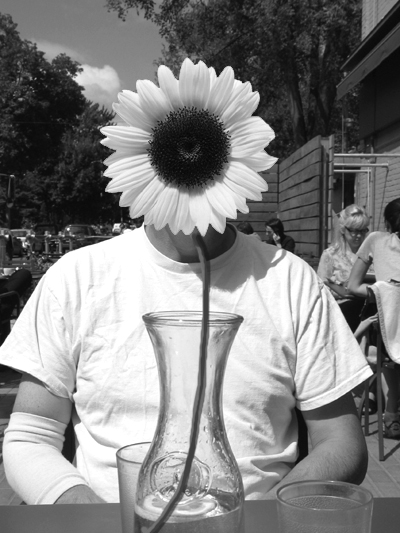
mikko and tanya

posted by Anne at 11:16 p.m.
0 comments
![]()
![]()
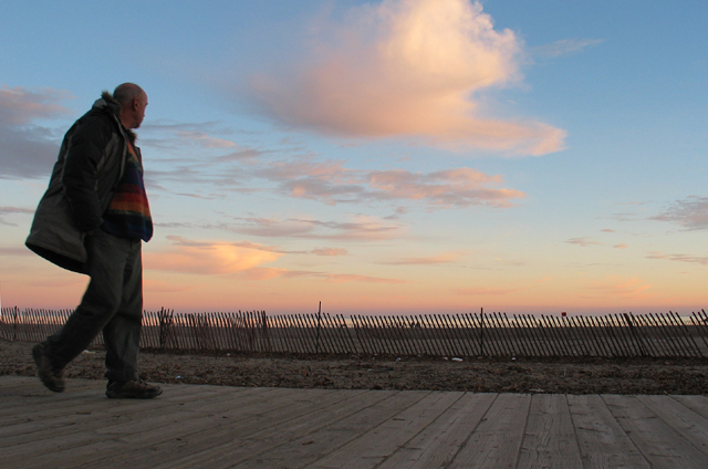
a photo a day I hope..

posted by Anne at 10:06 p.m.
0 comments
![]()
![]()

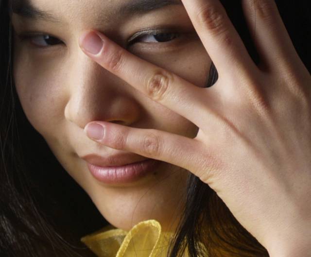
posted by Anne at 1:04 p.m.
1 comments
![]()
![]()
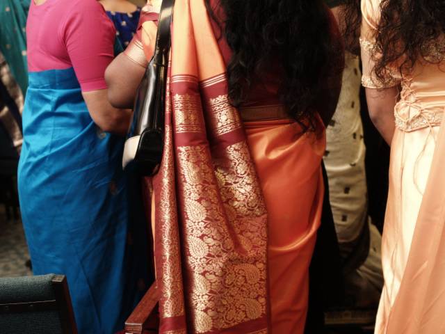
posted by Anne at 1:00 p.m.
0 comments
![]()
![]()

I live and work in Toronto Canada, which was just pegged as the most multi-cultural city in the world. Anyway, I hope the portraits on my various sites mirror the diversity of faces in our city.
Links