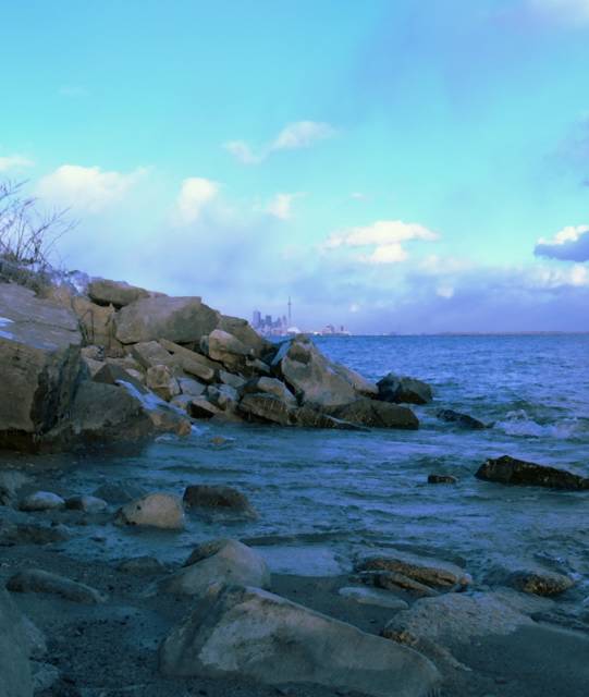
Richard's skyline of Toronto. It's sometimes tempting to think of Toronto as the center of Canada. ;-) But in fact, the real geological center is somewhere quite different. I was a little awed to read this. Canada is so freaking huge. Facts from Canadian government website:
Extremities of the Canadian Landmass
* Most northerly point: Cape Columbia, Nunavut; 83 degrees 7 minutes North, 70 degrees 22 minutes West
* Most southerly point: Middle Island, Ontario; 41 degrees 41 minutes North, 82 degrees 40 minutes West
* Most easterly point: Cape Spear, Newfoundland: 47 degrees 31 minutes North, 52 degrees 37 minutes West.
* Most westerly point: A long portion of the Yukon-Alaska boundary which runs along the 141st meridian. The point at the southern end of this line would be the furthest west. This is at: 60 degrees 8 minutes North, 141 degrees 0 minutes West.
Centre of Canada
The centre of Canada can be measured in many ways. The most readily understood would be by taking the mid-point of the extremeties of the Canadian landmass section, above. The resulting location (62 degrees 24 minutes North, 96 degrees 28 minutes West) is located just south of Yathkyed Lake in Nunavut, about 150 kilometres northwest of Arviat, Nunavut.

posted by Anne at 10:51 a.m.
![]()
![]()


1 Comments:
stunning it's so very blue
Post a Comment
<< Home